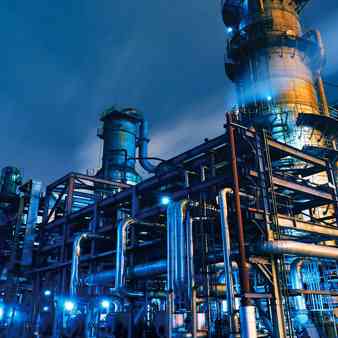
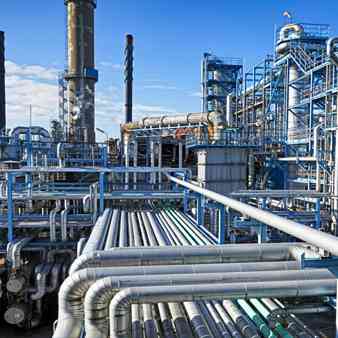
MAPe IT Solutions provides 80% of the related data has a spatial component. Extensive and intricate value chains of Oil & Gas industry form a key problem statement for delivering cost-effective, universally available, quality products on a global scale. The Oil & Gas sector can greatly benefit from the Geospatial technology to improve their business.
Industries
Oil And GAS Mapping
The most established market in the remote sensing is in the area of natural resources in the exploration of oil, gas and minerals. Satellite and air-borne Remote Sensing technology aids in the selection and development of oil and gas exploration areas around the world as well as in the areas of oil spill mitigation and remediation and use of orthorectified satellite images, it provides insight on the selection of areas to plan 2D or 3D seismic surveys for an exploration drilling program as well as aiding in the process of environmental and operational safety hazards to minimize the HSE risks. There is currently no other technology that matches or exceeds the capabilities of remote sensing and its necessity in the oil industry.