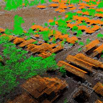
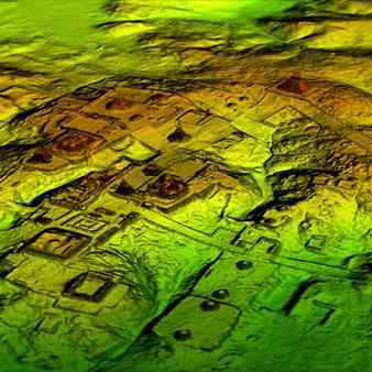
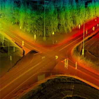
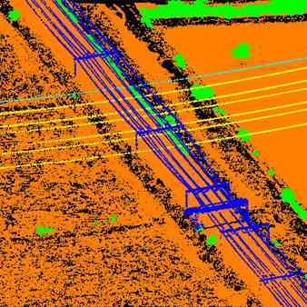
LiDAR, a new technology in the field of topographical data collection with high speed, high density and accurate data. LIDAR scanning can occur day or night, as long as clear flying conditions are present; also have the capability to capture intensity reflectance data in addition to the x-y-z coordinates.
LIDAR (LIght Detection And Ranging) Data Processing
LIDAR (LIght Detection And Ranging) Data Processing
MAPe IT Solutions provides LiDAR Data Processing Services for various industries. LiDAR (Light Detection And Ranging), a new technology in the field of topographical data collection with high speed,High accurate "Basic" LiDAR mapping services. Digital Elevation Models (DEM), Elevation Maps, point cloud classification, contour lines generation among other LiDAR data processing services.